Water flows through major rivers, dams and reservoirs showed a mixed but controlled pattern on Friday.
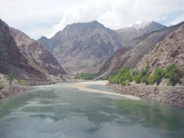
Pakistan is at a critical juncture. The Indus Basin is not just a water network; It is the basis of life, agriculture, energy and heritage. Photo: archive
ISLAMABAD:
Reservoir levels indicated moderate storage in the main dams. At Tarbela, the minimum operating level is 1,402 feet, with the current water level recorded at 1,450.01 feet, against a conservation maximum level of 1,550 feet.
Usable water storage stood at 1.011 million acre-feet. In Mangla, the minimum operational level is 1,050 feet, while the current level was recorded at 1,137.05 feet, against a maximum capacity of 1,242 feet, with usable storage of 1.237 million acre-feet.
At Chashma, the minimum operational level is 638.15 feet, with the current level being 643.60 feet and a maximum of 649 feet, while the usable storage stood at 0.102 million acre-feet.
Officials clarified that the flow data at Tarbela and Chashma on the Indus River, at Nowshera on the Kabul River and at Mangla on the Jhelum River represent average flow rates during the last 24 hours.
Water flows through major rivers, dams and reservoirs showed a mixed but controlled pattern on Friday, with inflows and outflows recorded at key points such as Tarbela, Mangla and Chashma, according to the latest official data.
The update provides a snapshot of the country’s water situation, covering river flows, dam discharges and reservoir levels. At Tarbela on the Indus River, the inflow was recorded at 16,400 cusecs, while the outflow was over 20,000 cusecs.
In the Kabul River at Nowshera, both the inflow and outflow were measured at 10,600 cusecs.