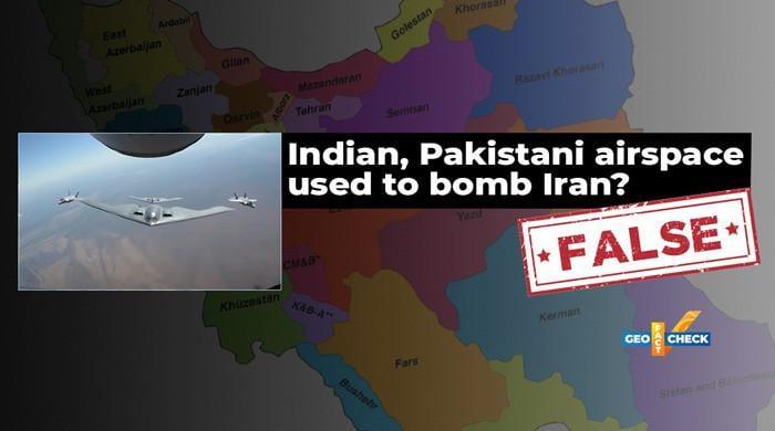
Shortly after the United States bombarded Iranian nuclear sites on June 22, claims began to circulate on social networks claiming that US planes used a Paquistani or Indian airspace to carry out the strikes.
Both statements are false.
Say
On June 22, a user in X (previously Twitter) wrote: “The United States used Pakistani airspace to bomb the Iranian nuclear sites. Afghan intelligence has confirmed this.”
In response, the Pakistani Senator Sherry Rehman, among other Pakistani users, denied the accusation against Pakistan, but instead said: “Indian airspace was used to bomb Iran, as official sources of the United States now confirmed publicly.”
Shortly after the United States bombarded Iranian nuclear sites on June 22, statements began to circulate on social networks claiming that US planes used a paquistani or Indian airspace to carry out the strikes.
Pakistan’s defense minister also shared a similar claim on X.
In addition to the confusion, the local media of the media of Pakistan reported, citing “sources of defense”, that the stealth bombers of the United States. Uu. B-2 that fly from Guam entered the Iranian airspace through India.
Made
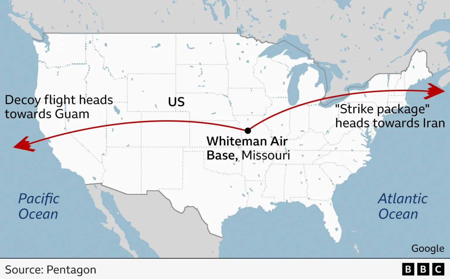
Official maps and flight routes published by the United States discredit the claims that Pakistani or Indian airspace was used in the operation.
On June 22, after the strikes, General Dan Caine, president of the United States Chiefs of General Staff, and the United States Secretary of Defense, Peter Hegseth, held a joint press conference detailing the flight route of Bombarderos B-2.
General Caine explained that two sets of B-2 bombers were deployed. A group was used as a decoy that flew over the Pacific Ocean, while the real attack plane traveled through the Atlantic Ocean and entered the Iranian airspace without detecting through the Eastern Mediterranean.
A graphic released by the Pentagon during the press conference showed the real flight route that enters Iran from the west, not in the east, where Pakistan and India are located.
The reports presented by these flight maps have been published by PBS news, BBC, Reutersand other media.
General Cain’s full press conference can also be seen here:
The map published by the Pentagon also shows that the flight route cited by the local media was used for deception, which went west towards the base of the United States in Guam. While the real B-2 bombers who carried out the attack entered Iran from the west, not near the Arabic sea.
This was confirmed by journalist Tahir Imran Mian, who told him Geographic data verification: “According to these maps and other information available, I can say that Pakistani or Indian airspace was not used by the plane that was involved in directly attacking Iran.”
Nor has there been, to date, public admission by US officials to use Indian airspace, as stated by the Pakistani senator.
It is also important to keep in mind that both India and Pakistan have officially denied the use of their airspace in the operation.
The verification arm of facts of the Indian government, Verification of GDP dataPublished in its official X mango that Indian airspace was not used by the United States during operation Midnight Hammer.
Similarly, the verification mango of the facts of the Ministry of Information of Pakistan dismissed the claim of use of Pakistan airspace as “false news” too.
Verdict: According to the information that is publicly available so far, therefore, maps and flight routes provided by the United States, there are no indications that Pakistani or Indian airspace has been used in the United States strike in Iran’s nuclear sites.
Image credit: ABC News